Mapping Ajman University's global connections
An interactive world map that brings together Ajman University's projects, partnerships, and people across continents.
Ajman University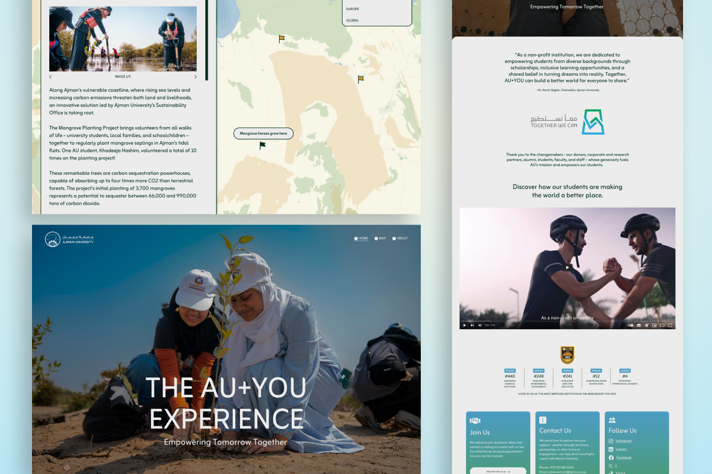
Partner:
Ajman UniversityProject type:
Interactive website
Scope:
Data visualisationDesign
Development
About the project
The challenge
Turning "global impact" into something you can explore
Building a site they could run themselves
Our creative solution
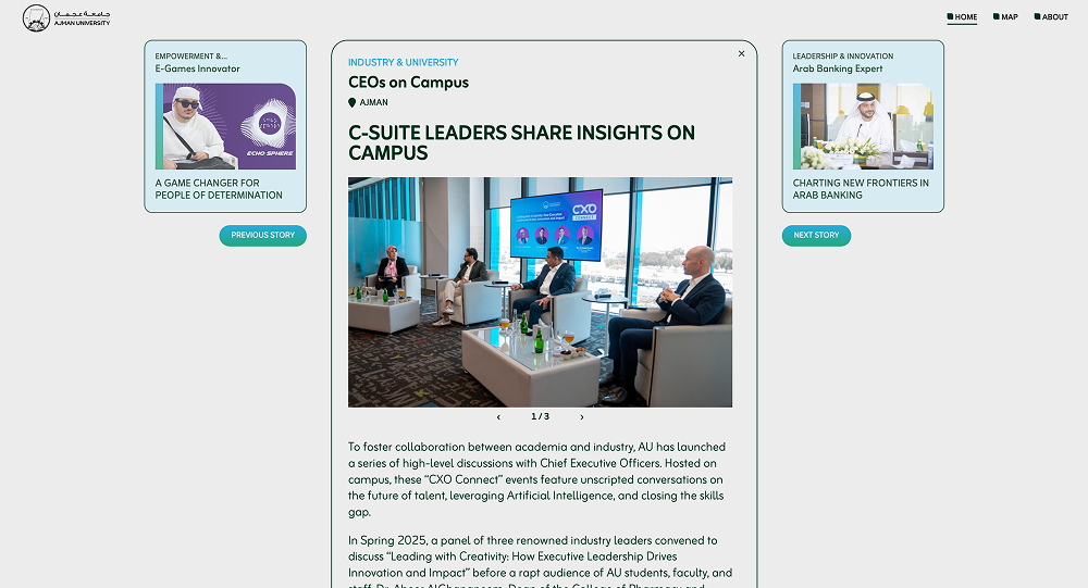
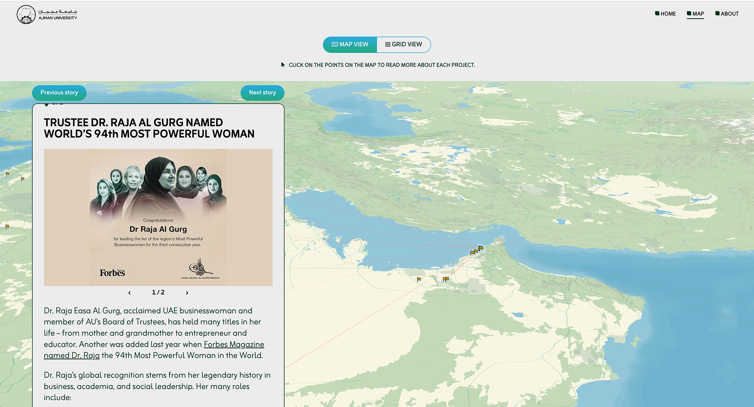
We designed the site around a single interactive world map as the main entry point. Locations are plotted across continents and linked by lines that show the spread of Ajman University's connections. The map works as a high-level overview at first glance, and as a detailed archive when you click in. Each location opens into a longer read with stories, profiles, and images from that specific partnership or project.
Ajman University had a strong library of photographs from their work on the ground, and we designed the site to be anchored in that imagery. The photos showcase the humans and individuals behind each project, and they give the site a sense of presence and specificity that a map of lines and dots alone could not carry.
To make sure the site stays useful over time, we built it so that Ajman University's team can add new locations, update content, and edit stories directly through a simple content management interface. The map updates automatically based on the content they publish, so the archive can grow without needing design or development support for each addition.
Our partners
You’ve done the work. Now let us make it exceptional.